Faiallo pass
Chris LeusteanThe Passo del Faiallo is located in Liguria, between the provinces of Genoa and Savona and is located near the paths used by the ancient Salt Roads. Today it is a destination from which numerous hiking trails start.
Altitude: 1.044m
Length: 16km
Colleagues: Passo del Turchino with Urbe, fr. Upper Vara (SV)
Google Maps link: https://goo.gl/maps/C6gM8MqzQto
Its position, close to the watershed and proximity to the sea, make the area subject to particular climatic conditions which also generate heavy snowfalls in winter, which in many cases leads to the closure of the road, especially on the eastern side.
The pass connects the Passo del Turchino, on the SP456 near the municipality of Masone (GE), with the scattered municipality of Urbe, more precisely the first inhabited center that is found descending from the pass is the hamlet of Vara Superiore (SV) .
Access to the pass from Masone takes place through a junction immediately after the Turchino tunnel, taking the SP73 which maintains this denomination up to the pass. Obviously, coming from Genoa, we find the junction before the tunnel.
There is a clarification to be made regarding the aforementioned junction, in fact at the moment looking at the road from google maps the old Turchino tunnel is still present, leaving which you had to turn right if you came from the north, or if coming from Genoa you left before the gallery.
Today, however, there is a new dual-lane tunnel, so arriving from Masone at the exit of the tunnel you have to turn left and coming from Genoa, right.
The road in the first section is rather narrow, surrounded by dense vegetation. The asphalt is in good condition though and remains so up to the pass.
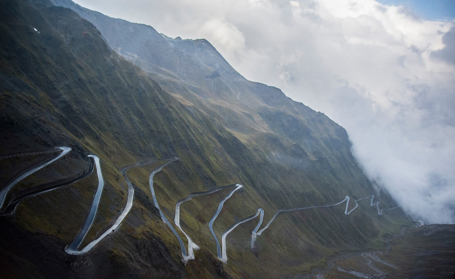
Going up in altitude, the roadway also widens, also finding excellent visibility due to the vegetation which is considerably reduced with the road that runs almost along the crest of the mountain, offering a spectacular panorama of the surrounding valleys to the north and towards the sea to the south.
Near the pass there is a structure, La Nuvola sul Mare, a refreshment and overnight stop from which the numerous excursion routes start.
The western slope, whose road takes the name of SP40, is accessible from the scattered municipality of Urbe, in the hamlet of San Pietro d'Olba. Going up the provincial road, after the hamlets of Vara Inferiore and Vara Superiore, the road that leads to the pass is not in excellent condition. The roadway is practically all rather narrow and the asphalt is in a rather deteriorated condition, with the presence of holes and patches along the entire route. Even the vegetation, thick up to the pass, is an obstacle that limits the speed with which you can travel the road safely.
Obviously the most interesting stretch is the east one, going up from Masone. Even if the first stretch is a bit narrow, the road that opens up as you climb to an altitude is worth the passage over this pass which offers a truly interesting panorama.
The descent towards Urbe is unfortunately in bad conditions but it gives the possibility of reaching other interesting destinations in the Sassello area, with all the roads that can be reached from the town and which we will perhaps tell you about in other articles.
Below is the video of the entire climb, immediately after the junction near the Turchino tunnel.