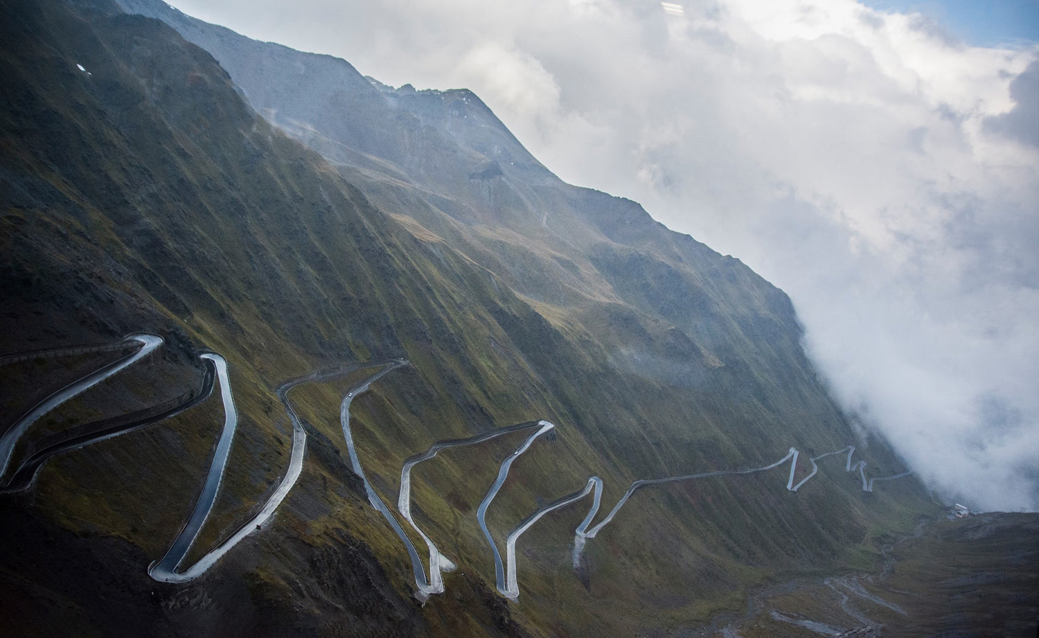
Colle del Piccolo San Bernardo
Chris LeusteanThis pass is located right on the border between Italy and France, precisely, as far as we Italians are concerned, in Val d'Aosta in the municipality of La Thuile.
It is a very ancient connection route, dating back even to the Neolithic period, as it is the lowest connection pass in the north-western Alps.
Altitude: 2.188m
Colleague: La Thuile (IT) with La Rosiere (FR)
Length: 16km
Google Maps link: https://goo.gl/maps/f4aXbjrZGrr
Today, however, it is also a well-known tourist destination, both for hiking in the summer and for skiing in the winter, even if the pass is closed in the cold season. This means that the pass is moderately busy in case of good weather and therefore particular attention must be paid.
There are two possibilities to reach the pass from the Italian side. The first is to take the SS26 from Pre'-Saint-Didier, while the second, which we recommend, is across the San Carlo hill (1,911m) on the SR39.
This stretch of road begins just outside the town of Morgex, a road with a not very wide but well paved roadway, which climbs quite steeply in an undergrowth which therefore does not give much visibility on the curves. Once over the top, the descent towards La Thuile begins in a stretch less covered by vegetation up to the town where you rejoin the SS26 to go up again towards the Colle del Piccolo San Bernardo.
Here too the road surface is still in good condition, the already sparse vegetation disappears as you climb towards the pass, offering excellent views.
On the pass there are a couple of bars/restaurants that offer excellent typical menus.
The French side has a road, which takes the name of D1090, with a slightly narrower roadway and above all without a parapet. Here it is therefore necessary to be more careful as the slope is also much steeper. Towards the valley, meeting the vegetation again, the road widens with a succession of wide hairpin bends up to the inhabited centers of La Rosière and Séez. From here it is possible to take the D902 which leads to Col de l'Iseran.
There are about 16 km between La Thuile and La Rosière, 16 km of very well paved road in Italy, while we find a rougher asphalt with some dips, but still without potholes, on the French side. The landscape, although fantastic, is not as spectacular as that encountered on other Alpine passes.
It is certainly a beautiful tourist destination, thanks also to Lake Verney and the Neolithic Cromlech which is located right on the top of the pass.
In our opinion
Definitely a recommended destination, even if only for its own sake, even more so if included in a wider itinerary which, for example, could take you to Col de l'Iseran and then again to Colle del Moncenisio to return to Italy in Val di Susa.
Unfortunately it is a rather busy tourist destination, so you could encounter some traffic, especially on nice days.

