Col de Vars
Chris LeusteanThere are roads that are famous all over the world, those with unique panoramas, those that have become part of the ideal of the perfect road thanks to the images that circulate on the net, thanks to magazine services and motor-related broadcasts. Surely they are the ones whose images attract the attention of the public the most.
But here we are talking about a road that is a true driving paradise, the one where you won't find a unique panorama, you won't find suggestive views, but the one where you will only want to press the right pedal, the Col de Vars!
Altitude: 2,111m
Length: 34km
Colleague: Guillestre (FR) with Les Gleizolles (FR)
Google Maps link: https://goo.gl/maps/EA68AHMhP8z
The Col de Vars, or Colle di Vars, is part of the D902, ie the Routes des Grandes Alpes. It has an altitude of 2,111 meters above sea level and is located near the town of the same name, famous for its ski tourism.
The pass connects the Ubaye Valley to the south with Guillestre to the north. The town of Vars is located 4km from the pass, on the north side, towards Guillestre.
The road on the north side starts right from the town of Guillestre, from the junction that allows you to choose whether to go up north towards Col de l'Izoard and Colle dell'Agnello, or towards south to go up towards Vars.
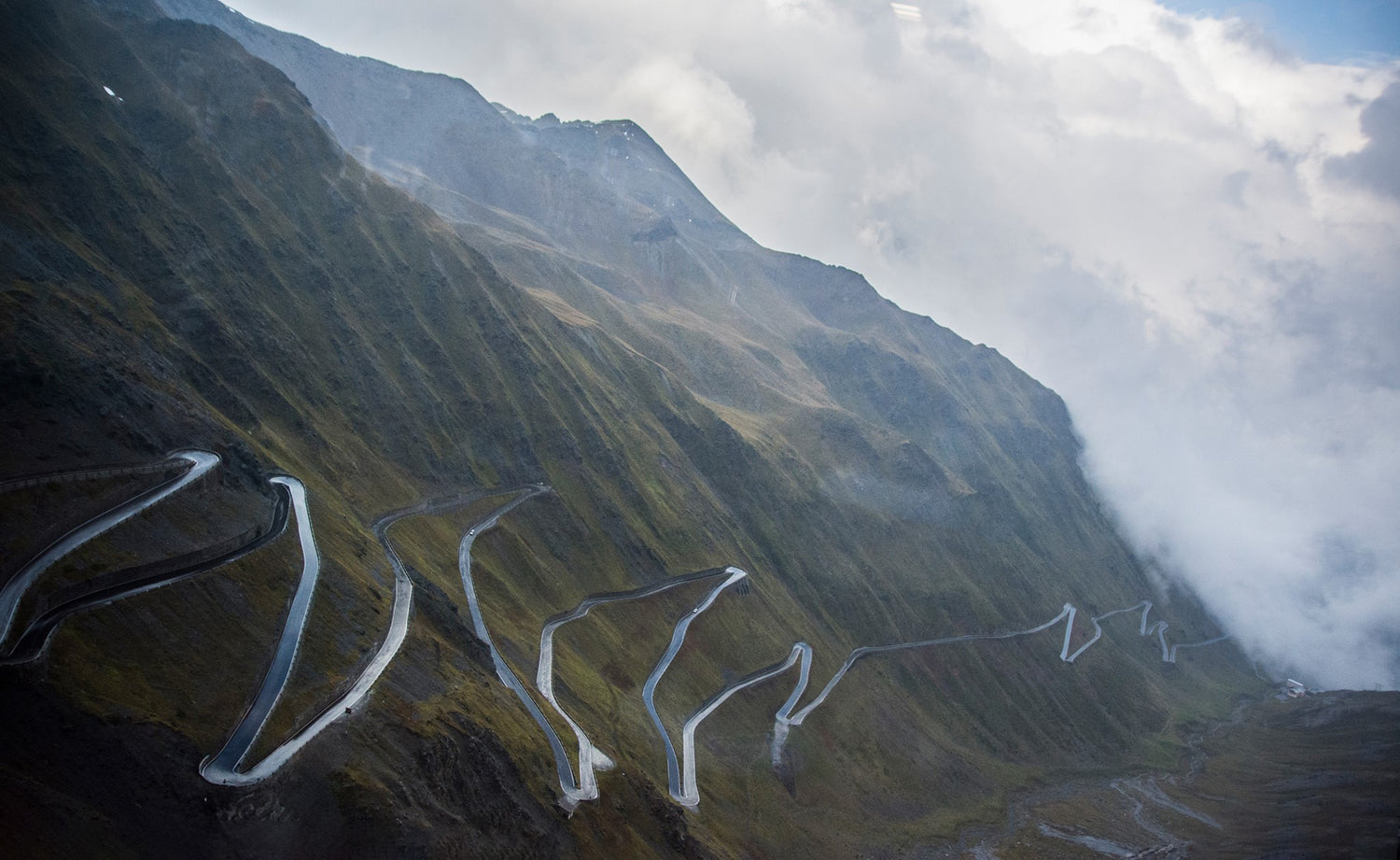
The roadway is wide and impeccably paved! A succession of curves of all kinds with just a few wide hairpin bends, many of which with great visibility, thanks also to sparse vegetation. It is the ideal condition to be able to enjoy driving in good safety. It's 14 kilometers of pure fun, up to where you meet the town of Vars.
After the inhabited centre, continue climbing for about 4 kilometers to reach the pass. Here the roadway is wide, always perfectly paved with really fast bends!
On the southern slope, take the D902 from the D900, the road that connects Barcellonette with Colle della Maddalena, near the small town of Les Gleizolles. The first part of the ascent to the pass is characterized by quite dense vegetation with the road running quite fast up to the village of Saint-Paul-sur-Ubaye. From here the climb becomes steeper with a slightly narrower roadway, but still sufficient for the passage of 2 cars in safety, with a more tortuous track and few hairpin bends. The asphalt is in good condition, although not as flawless as on the north face.
On the pass, and especially near it on the north side, there are numerous car parks where there are often tourists in campers. A small restaurant is present right on the pass while going down a couple of km to the north is the Refuge Napoleon.
In our opinion
It is perhaps the most beautiful road to drive among those we have encountered in our many travels. It's fun, varied, impeccably paved, fairly safe and with little traffic. It's the ideal road to drive!
From a landscape point of view it does not stand out in a particular way, even if it is still over 2000 meters in the Alps, and therefore you certainly will not find unpleasant landscapes.
The north side is the most spectacular. We definitely recommend climbing to the pass from this side, therefore, which you can reach from Italy through the Colle dell'Agnello (the third highest pass in Europe) and from the Val Varaita.
The alternative to reach the north side is to arrive from the Val di Susa through Montgenèvre and take the Col de l'Izoard, which we consider highly recommended!
To the south you can then return to Italy via the Colle della Maddalena.

